English
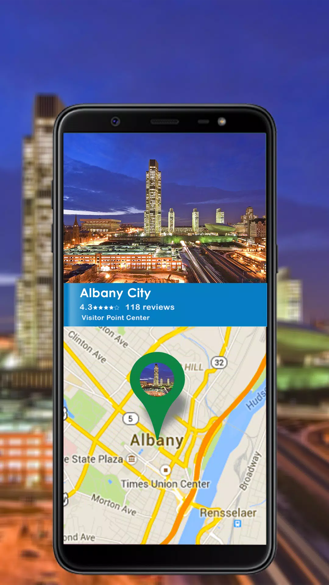
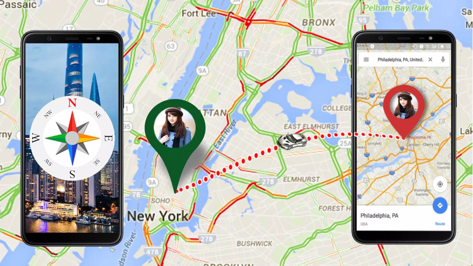
gps maps camera compass is a multifunctional navigation app that combines precise GPS tracking, offline and online maps, a camera with geo-tagging overlays, and a digital compass for fieldwork and travel. It offers intuitive tools for marking waypoints, measuring distances, and capturing location-stamped photos on Android devices.
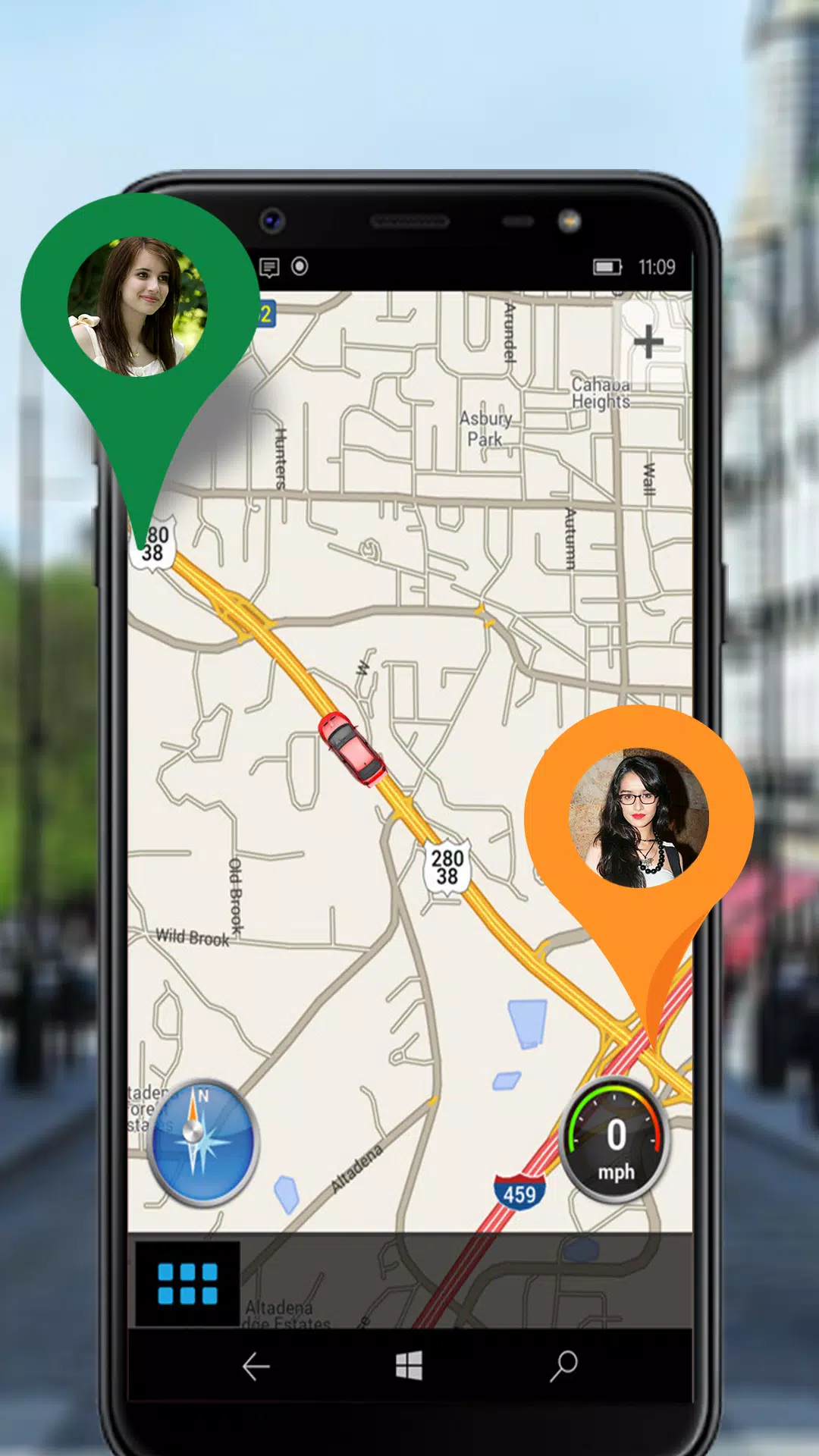
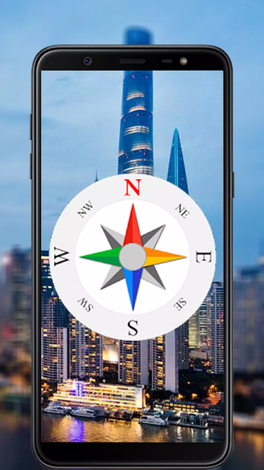
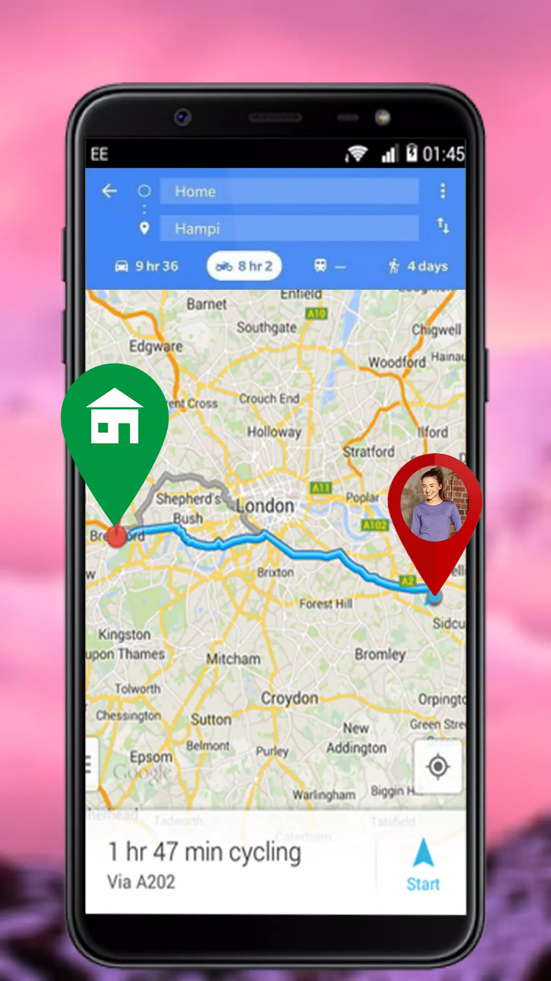
The app unites several utilities in a single interface: a high-accuracy GPS receiver, multiple map sources, an adjustable compass widget, and a camera mode that stamps images with coordinates and orientation. Users can create, name, and export waypoints, draw routes for planning, and switch between map types like satellite, terrain, and street view. A built-in distance measurement tool helps calculate straight-line and path distances quickly.
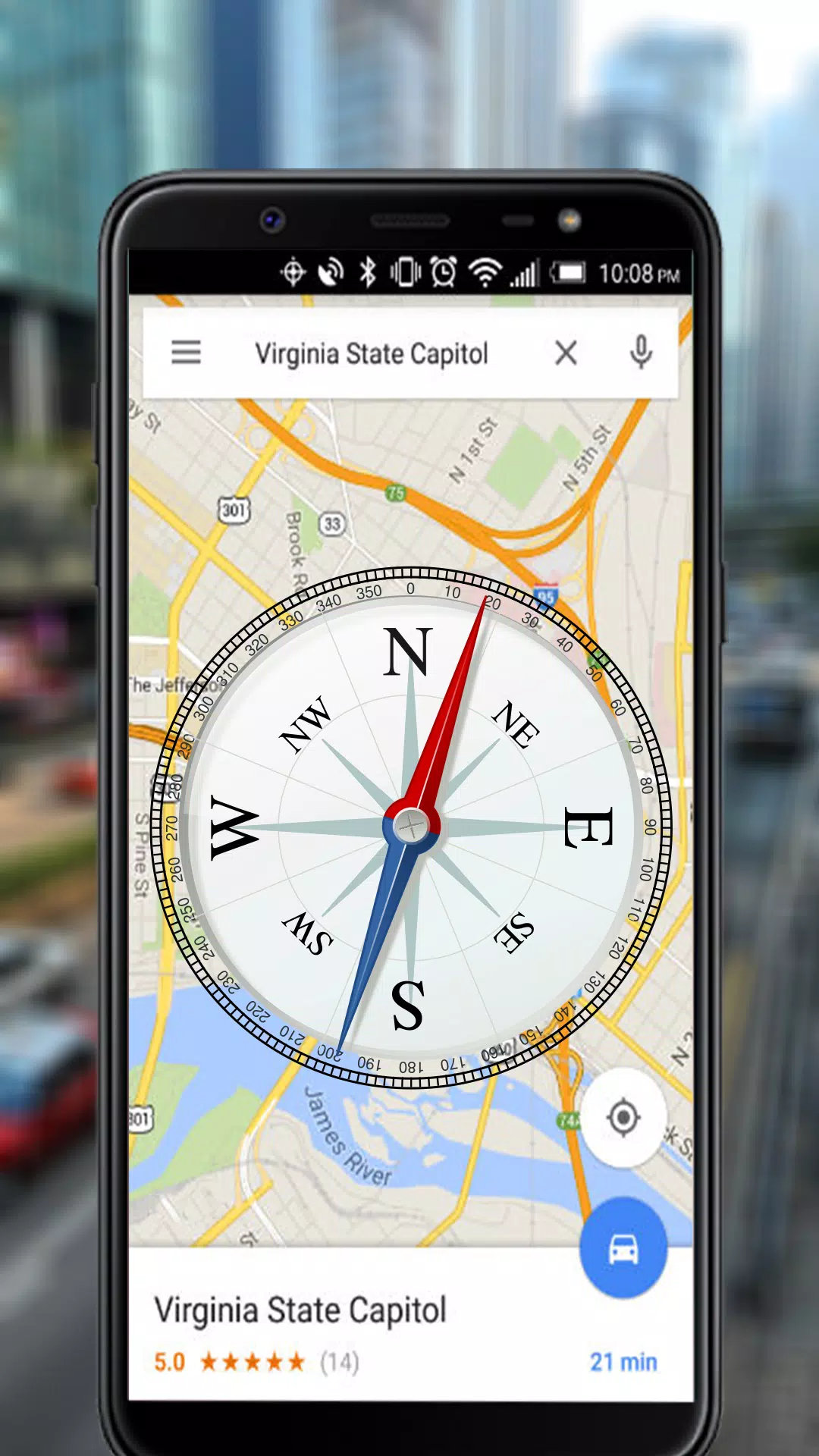
Location data is collected from your device GPS and supplemented by network positioning when available. Maps can be streamed or downloaded for offline use, which is useful in remote areas. The camera overlay displays heading and coordinates in real time so photos are immediately contextualized. Waypoints and routes are stored locally in common formats (GPX, KML) for easy import into mapping software or cloud services.
gps maps camera compass suits hikers, surveyors, field researchers, and travelers who need dependable location tools. Hikers can plot trails and take geotagged photos to document progress. Property surveyors benefit from quick coordinate capture and export. Urban explorers and journalists can record precise positions and photographic evidence without switching between multiple apps.
The interface emphasizes clarity and speed. Main controls put map navigation front and center with one-touch access to camera overlay and compass. Gesture support includes pinch-to-zoom and swipe to pan. Settings allow customization of coordinate formats (decimal degrees, DMS), units (meters/feet), and map refresh intervals. For rapid field use, a lock-screen widget can display current coordinates and heading without fully opening the app.
Designed for Android devices across a range of hardware, the app optimizes GPS polling to balance responsiveness and battery life. Map caching reduces repeated downloads, and the camera overlay runs efficiently even on mid-range phones. Compatibility notes include required location and camera permissions; optional storage permissions are requested for saving offline maps and exported files. Regular updates address map provider changes and improve stability.
Advanced users can tweak GPS update intervals, enable high-accuracy mode, and select preferred map tile providers. The compass can be calibrated manually and set to display magnetic or true bearings. Photo overlays can be configured to include custom text fields such as project ID or observer name, which helps when images will be processed later in desktop GIS applications.
Begin by granting location and camera permissions, then choose whether to download maps for offline use. Create a waypoint to test coordinate capture, take a geo-tagged photo to verify overlays, and record a short route to see playback and statistics. Export a GPX file and open it in a mapping program to confirm data integrity. Tutorials and an in-app help section guide new users through each tool step by step.
Whether you need a simple coordinate readout or a combined toolkit for fieldwork, gps maps camera compass provides a compact, versatile solution. Its combination of map sources, photo geotagging, and route management reduces the need for multiple apps, streamlining workflows for professionals and outdoor enthusiasts alike.
Pizzaria do Erick
Size:19.12M LifestyleMy Hurricane Tracker Pro
Size:4.73M LifestylePushscroll
Size:61.25M LifestyleSmartWOD Timer
Size:26.75M LifestyleMeteum Weather
Size:63.84M LifestyleBestifyMe
Size:13.80M LifestyleWeatherPro
Size:48.30M LifestyleEmpower You: Unlimited Audio
Size:80.20M LifestyleAdobe Express
Size:107.80M LifestyleGeoZilla
Size:63.92M LifestyleONEWallet - Cards Wallet
Size:15.00M LifestyleFloor Plan Creator Home Design
Size:40.91M LifestyleApril 2024 Clash of Clans Update: Unveiling a Fresh Companion, Enhanced Levels, Chat Tagging, and Be
2024-04-16Arrival of Genshin Impact 4.6 Update: 'Embers of Two Realms, Twilight of Crimson'
2024-04-16V2.2 of the Farlight 84 update introduces an overhauled Season structure, fresh in-game currency, an
2024-04-16Monster Never Cry is now accessible on both Android and iOS mobile devices.
2024-04-18PUBG Mobile Teams Up with Bentley Motors: Luxury Cars, Exclusive Collectibles, and Beyond
2024-04-18March 2024 Free Redemption Codes for Honkai: Star Rail
2024-04-18